Is Bing Maps Hosting Images of a Homicide Victim?
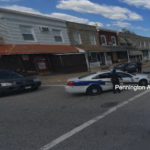
In Bing Maps, a street view at the corner of Pennington Avenue and Hazel Street in Baltimore’s Curtis Bay neighborhood shows a single police car, two officers, and what appears to be a man in the middle of the street bleeding from the skull. Read...
Continue reading »